Several rounds of showers and thunderstorms are expected across western, central and north-central New York on Tuesday, according to the National Weather Service. Some storms could produce gusty winds and locally damaging wind gusts.
Forecasters say isolated severe thunderstorms are possible, especially late morning through the afternoon and again late at night. The region is under a marginal risk (level 1 of 5) for severe weather.

Severe weather threat
The primary hazard from Tuesday’s storms is localized damaging wind gusts, with a smaller chance of hail in isolated storms. Officials say the best chance for stronger storms will be late morning through late afternoon and again overnight.
Midweek outlook
Additional rounds of showers and scattered thunderstorms are expected Wednesday through Thursday. A marginal risk for severe weather remains in place Wednesday, mainly across the Southern Tier, with gusty winds possible in stronger storms.
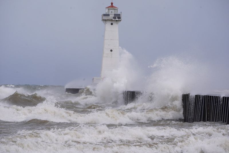
Marine conditions
Storms may also impact Lakes Erie and Ontario, as well as the Saint Lawrence River. Forecasters warn of locally higher waves and choppy conditions in some areas.
This article originally appeared on Rochester Democrat and Chronicle: NY faces severe weather, damaging winds possible. What to know
Reporting by New York Connect Team, USA Today Network / Rochester Democrat and Chronicle
USA TODAY Network via Reuters Connect