Thousands are without power as a major winter storm continues to barrel across the country, bringing snow, ice and frigid temperatures to dozens of states, from Texas to Maine.
Ice, freezing rain and snow began falling across parts of the South Saturday, Jan. 24 and continued into Sunday, Jan. 25, with “significant sleet accumulations of 1-3 inches” expected, according to the National Weather Service. Severe thunderstorms could pop up across pars of the Central Gulf Coast on Sunday during the sleet.

The storm shifted eastward Sunday morning, bringing a mix of wintry conditions from the Carolinas to New York. Heavy snow has begun to accumulate across the Mid-Atlantic and Northeast, and New England could see up to 18 inches of snowfall, the weather service said.
How long will the winter storm be in New York?
A major winter storm is currently affecting New York, bringing heavy snow, sleet and strong winds across much of the state. In the New York City metro area, Long Island and northeastern New Jersey, the heaviest snow is expected through Sunday afternoon, Jan. 25, with snowfall rates of 1–2 inches per hour in some spots, according to the National Weather Service in New York City.
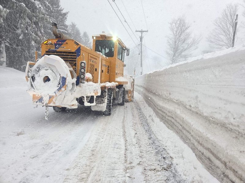
In the interior and upstate portions of the state, including the Hudson Valley and southern Connecticut, heavy snow will continue into Sunday night, Jan. 25. While the intensity of the storm will decrease overnight, light snow or a wintry mix could persist into Monday morning, Jan. 26, according to the National Weather Service office in Buffalo. Upstate regions around Buffalo, the Finger Lakes, and the Tug Hill area will experience additional impacts from wraparound precipitation and lake-enhanced snow, which could continue through Monday night.
Lake-effect snow will then remain a factor into Tuesday, particularly east and southeast of Lake Ontario, where localized bands of moderate to heavy snow are possible. Cold Arctic air will remain entrenched over the region following the storm, keeping temperatures well below normal and allowing lake-effect snow to continue sporadically. Across much of the state, temperatures will struggle to rise above the 20s, with lows in the single digits, creating hazardous travel conditions even after the main storm passes.
Winter storm 2026: See live radar map
See where the winter storm is now on this radar map.
New York power outage map
New York weather radar
New York weather watches and warnings
Brandi D. Addison covers weather across the United States as the Weather Connect Reporter for the USA TODAY Network. She can be reached at baddison@gannett.com. Find her on Facebook here.
This article originally appeared on Rochester Democrat and Chronicle: How long will winter storm be in New York? Check out live radar map
Reporting by Brandi D. Addison, Karissa Waddick and Mike Snider, USA TODAY NETWORK / Rochester Democrat and Chronicle
USA TODAY Network via Reuters Connect