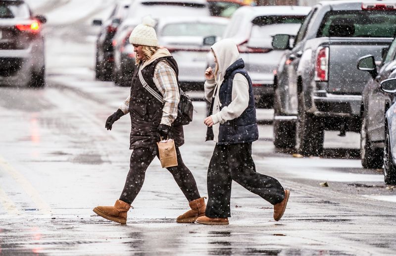
More winter weather swept across Indiana overnight, bringing snow and frigid temperatures on the heels of a winter storm that dropped nearly a foot of snowfall in parts of the Hoosier State.
Accumulations from the overnight storm were predicted to be much lighter than the post-Thanksgiving system, with most areas forecast to get from 1 to 4 inches of snow in localized bands.

Slick roads and lingering snow may still affect travel Tuesday morning, Dec. 2, according to the National Weather Service in Indianapolis.
Use the interactive snowfall tracker below to see how much snow your neighborhood received.
How much snow fell near you in Indiana? Search by address
What’s Indiana’s weather forecast the first week of December 2025?
Looking ahead, skies will remain mostly cloudy through Wednesday, with highs in the mid-30s and another 30 percent chance of snow Wednesday night, Dec. 3.
A wave of Arctic air moving in from Canada due to a weakened polar vortex will bring bitterly cold temperatures Thursday, with highs near 25 and lows in the low teens.
Cold will persist through at least the weekend, and warmer temperatures are not expected in short-term forecasts through at least the middle of December, according to the weather service. Additional light snow or mixed precipitation is possible Friday into Saturday, Dec. 4-5.
Gallery: Snow returns to Indiana over the Thanksgiving holiday
Brandi D. Addison covers weather across the United States as the Weather Connect Reporter for the USA TODAY Network. She can be reached at baddison@gannett.com. Find her on Facebook here.
This article originally appeared on Indianapolis Star: How much snow did we get in Indiana? See latest totals by address
Reporting by Brandi D. Addison, USA TODAY NETWORK / Indianapolis Star
USA TODAY Network via Reuters Connect