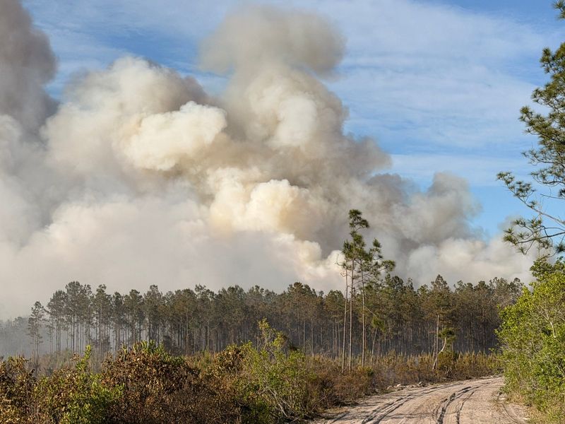
Over 100 wildfires continue to burn Sunday, April 26, across thousands of acres in Florida.
Severe drought persists throughout the state with low relative humidity and dry fuels increasing the wildfire risk, according to the National Weather Service Jacksonville. ‘Exceptional’ and ‘extreme’ drought conditions continue in northeast Florida and southeast Georgia.

Currently, burn bans have been issued for 44 of Florida’s 67 counties.
Here’s where all the active fires across the Sunshine State are today, according to The Florida Forest Service’s Wildfire Map.
See Florida wildfire map
As of 10 a.m. April 26, there were 108 active wildfires burning 15,088 acres across Florida.
According to the Florida Department of Agriculture and Consumer Services, between March 27 and April 25 in Florida:
Florida air quality by city from Jacksonville to Miami
Which Florida counties are under a burn bans?
As of April 26, burn bans have been issued for 44 of Florida’s 67 counties.
Florida Forest Service provides wildfire safety tips
Which roads are closed due to fires in Florida?
To find live traffic data and road closures due to crashes, brush fires and more in Florida, visit trafficincidents.flhsmv.gov
This article originally appeared on Florida Times-Union: Florida wildfire map shows over 100 active fires Sunday. Here’s where
Reporting by Ashley Ferrer and Cheryl McCloud, USA TODAY NETWORK – Florida / Florida Times-Union
USA TODAY Network via Reuters Connect