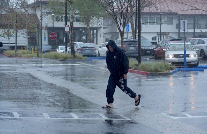
A strong storm swept into Ventura County on Feb. 16, drenching local areas and bringing gusty winds and possible mountain snow.
Authorities warned the system could include heavy downpours, lead to slick roads and cause flooding and minor mud and rock slides. The heaviest rainfall was expected locally from midmorning to late afternoon.

But after that, a chance for thunderstorms and more rain would stick around, said Rose Schoenfeld, a meteorologist with the National Weather Service in Oxnard.
“Once that main core of rain goes through, it’s not quite all over,” she said.
The National Weather Service issued a flood watch for all local areas and much of neighboring Santa Barbara and Los Angeles counties through 9 p.m. Monday.
Coastal and valley areas could receive 1 to 2.5 inches of rainfall on Monday. Foothill and mountain spots could see 2.5 to 5 inches, according to the weather service.
Authorities had not issued any evacuation warnings as of early Monday. The Ventura County Sheriff’s Office of Emergency Services reported it would continue to monitor the storm and urged residents to stay alert for changing conditions.
For the Mountain Fire burn area in and around Camarillo, authorities said rainfall rates were expected to stay below debris flow thresholds, according to the forecast. During intense rainfall, burned slopes can become vulnerable to flash floods and post-fire debris flows. Authorities have set a debris flow threshold just under an inch of rain per hour in the local burn scar.
Rainfall rates were expected to reach around a half-inch to three-quarters of an inch per hour in most areas. But spots could see intensities of up to an inch per hour in case of thunderstorms.
When will the second storm hit Ventura County?
Early season storms in late December and early January drenched the county, washing out roads and boosting local reservoirs. Lake Casitas had neared its spillway ahead of this week’s storms.
Officials said the Ojai Valley reservoir could start to spill as early as Monday, depending on rainfall.
A second, colder storm was expected Tuesday night into Wednesday morning. The system could bring less rain but more widespread snow in higher elevations, Schoenfeld said.
“This storm system will be colder, so the snow levels will be lower,” she said.
In all, coastal and valley areas could record 2 to 4 inches of rainfall over the week. Foothill and mountain areas could see 4 to 8 inches.
The forecast showed the possibility of minor storms next week, Schoenfeld said.
How much snow could fall in Ventura County?
The weather service called for winter storm watches or warnings at some local spots, mostly in the mountains north of Ojai and Fillmore, on Monday and Tuesday.
Some snow and gusty winds were expected during both storms. But by Tuesday night, snow could start to pile up in areas above 6,000 feet, according to the weather service. The forecast called for as much as 1 to 3 feet of snow in those higher elevations.
Up to a foot of snow was possible from 4,500 to 6,000 feet.
Officials said snow could start to impact the Lockwood Valley area, mountain spots along Highway 33 and the Grapevine.
What will happen with the surf, waves?
High surf was expected for much of the week, and some spots could see minor to moderate coastal flooding around high tide on Tuesday and Wednesday.
The weather service said to expect 10- to 15-foot waves, with local sets up to 20 feet along the Central Coast. In Ventura County, waves could reach 6 to 10 feet, with local sets up to 15 feet possible at the Ventura Harbor.
For more information about the storm and hazards locally, visit vcemergency.com.
Cheri Carlson covers the environment and county government for the Ventura County Star. Reach her at cheri.carlson@vcstar.com or 805-437-0260.
This article originally appeared on Ventura County Star: Strong storm sweeps into Ventura County. Here’s what to know
Reporting by Cheri Carlson, Ventura County Star / Ventura County Star
USA TODAY Network via Reuters Connect