If you were planning on spending time outdoors this weekend in metro Detroit, you may want to reschedule.
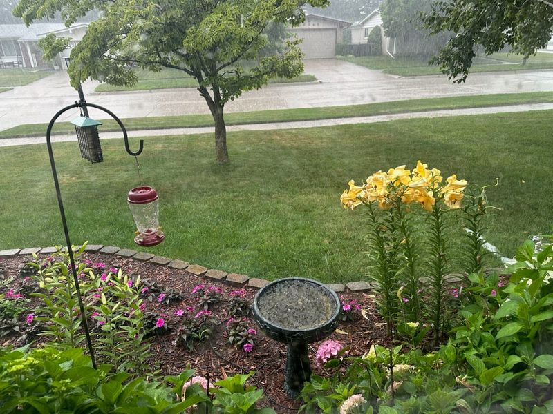
The National Weather Service predicts a risk for severe storms Friday across Southeast Michigan due to fronts moving up from Ohio and in from the west. There is a 30% chance of rain on Friday with the risk of thunderstorms increasing after 2 p.m. The NWS has issued a hazardous weather outlook that warns of the potential for both high wind gusts and localized flooding.

The risk increases on Saturday, with the potential greater particularly in the afternoon and evening, according to meteorologist Steve Freitag of the National Weather Service office in White Lake. Temperatures in the high 90s — potentially pushing up into the 100s — combined with a cold front coming from the west create a greater chance for severe thunderstorms.
“It could be severe, producing marginally damaging winds,” Freitag said. “Real tough determining the exact time, but anywhere from three to eight o’clock is fair game.”
Freitag said there could be short periods of torrential rainfall, with a risk for minor flooding and 50-60 mph wind gusts.
Sunday’s outlook is similar, with a clear morning and a 40% chance of rain in the afternoon and evening, with possible thunderstorms.
Thunderstorms are not guaranteed, and the NWS has only issued a hazardous weather outlook. If the risk increases, the service may issue a severe weather watch. Residents should check the NWS website to make further determinations before making plans.
Aside from the potential for storms, the weather is expected to be hot this weekend. Friday’s high is 88 degrees, while Saturday’s temperature will climb up into the 90s. On Sunday, it is likely to cool back down to the high 80s.
This article originally appeared on Detroit Free Press: Severe thunderstorms possible for Detroit this weekend
Reporting by Matthew Auchincloss, Detroit Free Press / Detroit Free Press
USA TODAY Network via Reuters Connect