Leaders in Michigan have raised boosting the state’s sluggish population growth as a key task — as other states around the country outpace Michigan in gaining new residents, the Great Lakes State stands to lose federal funding and representation.
Detroit, the state’s most populous city, posted moderate population gains in 2025. According to data estimates from the U.S. Census Bureau, the city’s population grew for the second year in a row, posting a moderate 1% growth from 2020 to 2024.

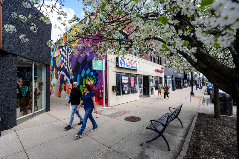
Among the city’s inner-ring suburbs, however, population growth isn’t consistent. Ferndale posted a 1.3% population increase over the same time period, but it was the only inner-ring community with a greater growth rate than Detroit. Hazel Park and Southfield grew slightly, at 0.5% and 0.3%, respectively, but the rest of the cities immediately surrounding Detroit trended downwards.
Census estimates show a slew of communities bordering Detroit losing at least 3% of residents from 2020 to 2024. River Rouge had the largest drop — census data found the community lost 4.9% of its population over the timeframe.
You can read more about the possible factors behind Ferndale’s growth and declines in other communities in this article by Sonja Krohn here.
You can reach Arpan Lobo at alobo@freepress.com
This article originally appeared on Detroit Free Press: Map: See which inner Detroit suburbs are gaining, losing residents
Reporting by Arpan Lobo, Detroit Free Press / Detroit Free Press
USA TODAY Network via Reuters Connect