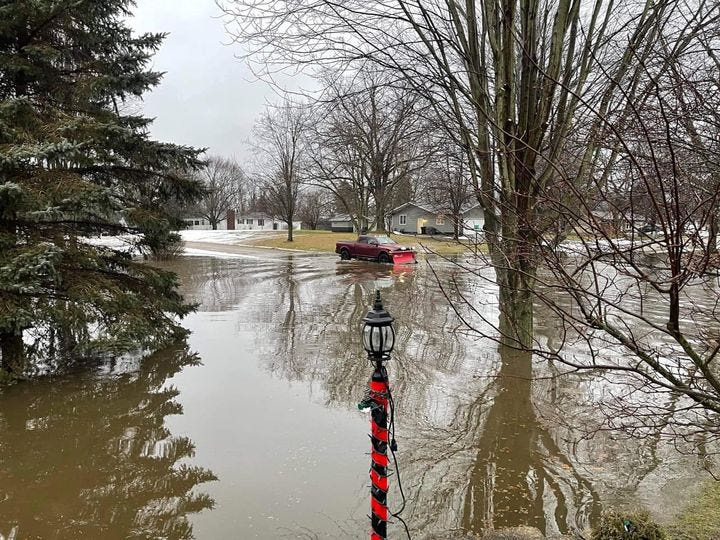
The National Weather Service has issued a flood watch for parts of southwest Michigan, northern Indiana and northwest Ohio as multiple rounds of heavy rain and severe thunderstorms are expected overnight.
The watch begins at 8 p.m. March 10, according to the National Weather Service in Northern Indiana. Forecasters said excessive rainfall could lead to flash flooding, particularly in urban areas and locations with poor drainage. Rivers, creeks, streams and other low-lying or flood-prone areas may also see rising water levels.

Rainfall rates of one to two inches per hour are possible as several waves of showers and thunderstorms move through the region overnight. In addition to flooding concerns, scattered strong to severe thunderstorms are likely, with possible hazards like damaging winds, large hail and tornados.
The watch area includes Hillsdale County, Branch County, Cass County, St. Joseph County and Berrien County.
Residents are urged to closely monitor weather updates and be prepared to take action if flash flood warnings are issued. For more information on flood safety, visit weather.gov/safety/flood.
— Contact reporter Corey Murray at cmurray@hillsdale.net or follow him on X, formerly Twitter, at @cmurrayhdn.
This article originally appeared on Hillsdale Daily News: Flood watch issued for Hillsdale County as storms approach
Reporting by Corey J. Murray, Hillsdale Daily News / Hillsdale Daily News
USA TODAY Network via Reuters Connect