California spent Christmas battling a brutal atmospheric river that drenched cities, toppled trees, and buried mountain passes in snow.
The storm slammed Southern California on Christmas Eve, bringing up to 8 inches of rain that flooded roads and triggered mudslides near burn scars. Rescue crews worked through the night pulling people from stranded cars and homes.

By Christmas morning, the Bay Area was getting hammered by 70 mph gusts while the Sierra Nevada disappeared under several feet of snow. Santa Barbara Airport even shut down before reopening later on Christmas Day morning, and Gov. Gavin Newsom declared a state of emergency as more than 160,000 customers lost power.
Now, forecasters say the storm isn’t done yet. Friday brings one last round of rain, snow, and wind before a calmer, sunnier weekend finally arrives.
Here’s what to expect for your Christmas holiday weekend:
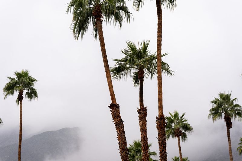
Southern California: Heavy rain Friday, sunshine ahead
Friday, Dec. 26: Another surge of heavy rain and thunderstorms will sweep through coastal valleys and foothills, with rainfall rates up to 0.75 inches per hour and localized flooding likely. Gusty winds of 30–50 mph could topple trees and power lines.
Saturday & Sunday: Conditions improve dramatically. Expect mostly sunny skies, highs in the mid-60s, and a gradual reduction in flood and mudslide risks.
Northern California: Showers linger before clearing
Friday: Lingering showers and gusty winds will keep roads slick, with flood warnings still in effect for low-lying areas.
Saturday & Sunday: Clouds break into scattered showers, highs in the upper 50s to low 60s. Creeks and rivers remain swollen, so caution is advised.
Central California: Flood watch continues
Friday: Moderate to heavy rain continues, with totals reaching 2–4 inches in some spots. Winds near 40 mph may cause additional outages.
Saturday & Sunday: Light showers taper off, skies begin clearing, and temperatures hover in the 50s.
High Desert: Gusty winds ease
Friday: Gusty winds of 35–55 mph and isolated showers will make travel hazardous, especially for high-profile vehicles.
Saturday & Sunday: Winds ease, skies clear, and highs climb into the 60s.
Sierra Nevada: Snow keeps travel treacherous
Friday: Heavy snow persists, with chain controls on I-80 and Highway 50. Travel is strongly discouraged.
Saturday & Sunday: Snow showers linger, but conditions slowly improve. Chains remain mandatory.
Excessive rainfall forecast
The map shows the risk that rainfall could exceed flash flood guidance within 25 miles of a given location each day. Colors indicate the level of risk, with pink showing a high chance (70% or greater), red moderate (40% or greater), yellow slight (15% or greater), green marginal (5% or greater), and gray indicating a low risk (less than 10%)
This article originally appeared on Palm Springs Desert Sun: After rain and snow, California could get relief over holiday weekend
Reporting by James Ward, Palm Springs Desert Sun / Palm Springs Desert Sun
USA TODAY Network via Reuters Connect