Summer returns this week to Michigan with a warm front bringing sunny, 80-degree weather across the Lower Peninsula, but heavy rain in parts of the Upper Peninsula.
Areas from southeast Michigan to Lake Michigan and north to Saginaw Bay are expected to see sun on Tuesday and Wednesday, Sept. 9-10, with highs of 80 degrees on Wednesday. In northern Michigan, Traverse City could reach 75 degrees on Sept. 10.

“Dry and pleasant today (Sept. 8), though accompanied by a southwesterly breeze. Moderate swim risk on some Lake Michigan beaches. Next rain chances come late tonight through Wednesday (Sept. 10), primarily across eastern upper. Temperatures also warm considerably through the week,” the NWS in Gaylord said on X.
In the UP, the warm front will bring temperatures in the 60s on Tuesday and Wednesday, with Sault Ste. Marie seeing some of the warmest readings, up to 69 degrees.
After the warm front, heavy rain is expected over the Upper Peninsula, mainly late Monday and into Tuesday.
“Calm & sunny skies today (Sept. 8) give way to rain & storms tonight through Tuesday (Sept. 9),” the National Weather Service in Marquette said on X. “Some heavy rainfall could be seen tonight & Tuesday, potentially leading to ponding of water or even isolated flash flooding in the western UP should the higher rainfall amounts be realized.”
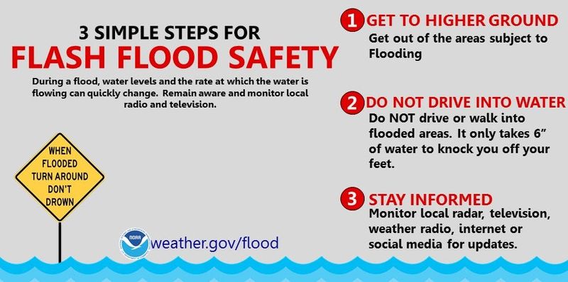
Hazardous weather outlooks are in effect for the Upper Peninsula and the northern Lower Peninsula because of widespread heavy rain that has potential to cause flash flooding, and thunderstorms with strong wind gusts up to 40 mph starting as early as Monday night, Sept. 8, into Tuesday, Sept. 9.
“A warm front brings showers and thunderstorms to the western UP tonight,” the NWS said. “Gusty S to SW winds pick up late tonight. Widespread rainfall is expected through Tuesday night.”
The heaviest rain is expected to fall in the western UP, with the potential for 3-5 inches in some locations, with remaining areas seeing 1-2 inches of rain, according to the NWS in Marquette.
A gale watch is in effect for eastern lake Superior, the NWS said, and a small craft advisory is in effect on Lake Michigan from south of Menominee to Rapid River, and along the western Lake Superior shoreline.
Here’s what a look into the weather forecast early this week, Sept. 9-10, for cities across Michigan:
What is the weather going to be like in Detroit?
Here’s the forecast for Detroit:
How warm will it get in Lansing early this week?
Here’s the forecast for Lansing:
What is in the weather forecast for Grand Rapids this week?
Here’s the forecast for Grand Rapids:
How warm will the weather be in southwest Michigan?
Here’s the forecast for Coldwater:
Here’s the forecast for Kalamazoo:
Here’s the forecast for St. Joseph:
Will northern Michigan see warmer temperatures this week?
Here’s the forecast for Gaylord:
Here’s the forecast for Traverse City:
Here’s the forecast for Alpena:
When will it rain in the Upper Peninsula this week?
Here’s the forecast for Marquette:
Here’s the forecast for Sault Ste. Marie:
Here’s the forecast for Ironwood:
Contact Sarah Moore @ smoore@lsj.com
This article originally appeared on Lansing State Journal: How warm will it be in Michigan this? Where it could reach 80. Where it will rain
Reporting by Sarah Moore, Lansing State Journal / Lansing State Journal
USA TODAY Network via Reuters Connect