The National Weather Service has released more details about the EF1 tornado that touched down in south Columbus Aug. 11, confirming a true tornado event did occur.
The tornado first touched down at 10:05 a.m. on South 8th Street between East Morrill Avenue and East Hinman Avenue, NWS said. The tornado uprooted several trees and broke others. The tornado lifted off the ground four minutes later, at 10:09 a.m., west of Fairwood Avenue.

The estimated peak wind hit 100 mph. The tornado went along 1.8 miles reaching a maximum width of 100 yards.
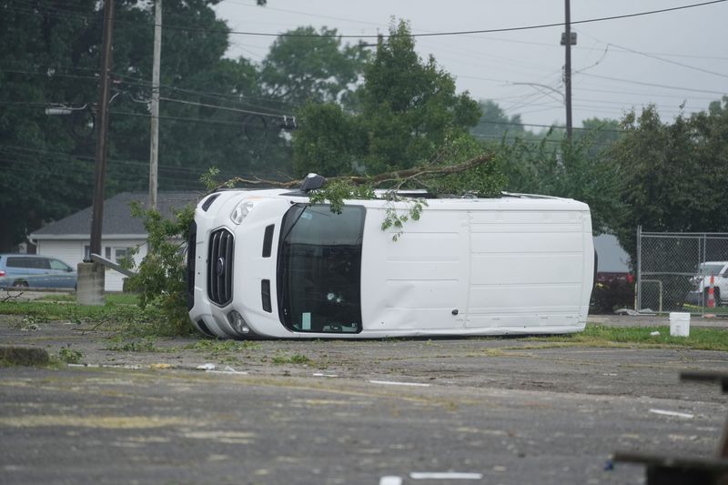
The NWS said homes along Parsons Avenue, South Champion Avenue and Reeb Avenue were damaged, as well as businesses and trees on Lockbourne Road. The roof of at least one home caved in because of a fallen tree, the agency said.
Damage in other parts of Franklin County from the Aug. 11 storms was the result of the winds but there is not the same type of path and evidence to confirm a tornado touched down in those areas.
Previously, a meteorologist from the weather service said Franklin County suffered widespread wind damage during the Aug. 11 storms, but most of the damage appeared to come from straight line winds, not possible tornadoes.
The EF scale refers to the “Enhanced Fujita” scale, which classifies tornados into the following categories, according to the public information statement:
The most recent tornado in Franklin County was in 2025, an EF0 tornado near Obetz. In 2018 in Columbus, an EF1 tornado moved 3.75 miles from Olde Towne East to the Bexley area with maximum winds of 90 mph.
Dispatch reporter Nora Igelnik can be reached at nigelnik@dispatch.com.
This article originally appeared on The Columbus Dispatch: Weather service releases new details on EF1 tornado in south Columbus
Reporting by Nora Igelnik, Columbus Dispatch / The Columbus Dispatch
USA TODAY Network via Reuters Connect
By Nora Igelnik, Columbus Dispatch | USA TODAY Network