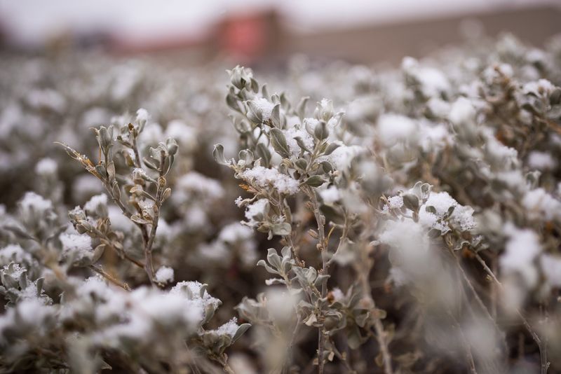
The National Weather Service has issued a winter storm watch for a large swath of central and southeast Illinois.
Heavy snow is possible with potential accumulations between 4 and 12 inches. The watch is in effect for 30 counties from late Friday night through early Sunday morning.

Roads, and especially bridges and overpasses, will likely become slick and hazardous, according to the National Weather Service in Lincoln.
The affected counties are: Knox, Stark, Peoria, Marshall, Woodford, Fulton, Tazewell, McLean, Schuyler, Mason, Logan, De Witt, Piatt, Champaign, Vermilion, Cass, Menard, Scott, Morgan, Sangamon, Christian, Macon, Moultrie, Douglas, Coles, Edgar, Shelby, Cumberland, Clark and Effingham.
Peoria weather forecast
New snow accumulation of 1 to 3 inches is possible Friday night into early Saturday in Peoria. Chance of precipitation is 70%.
On Saturday, the snow could be heavy at times, with new accumulation of 4 to 8 inches possible. Expect a mix of rain and snow with a high around 34 degrees. The chance of precipitation is 100% during the day, according to the National Weather Service. A low of around 24 is expected at night.
This article originally appeared on Journal Star: Winter storm watch issued for large swath of Illinois
Reporting by Staff report, Peoria Journal Star / Journal Star
USA TODAY Network via Reuters Connect