If you’re planning an Upper Peninsula vacation before summer’s end, you’ll want plan ahead for what could be a lengthy ride to reach the Mackinac Bridge.
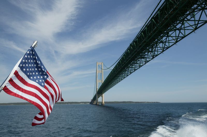
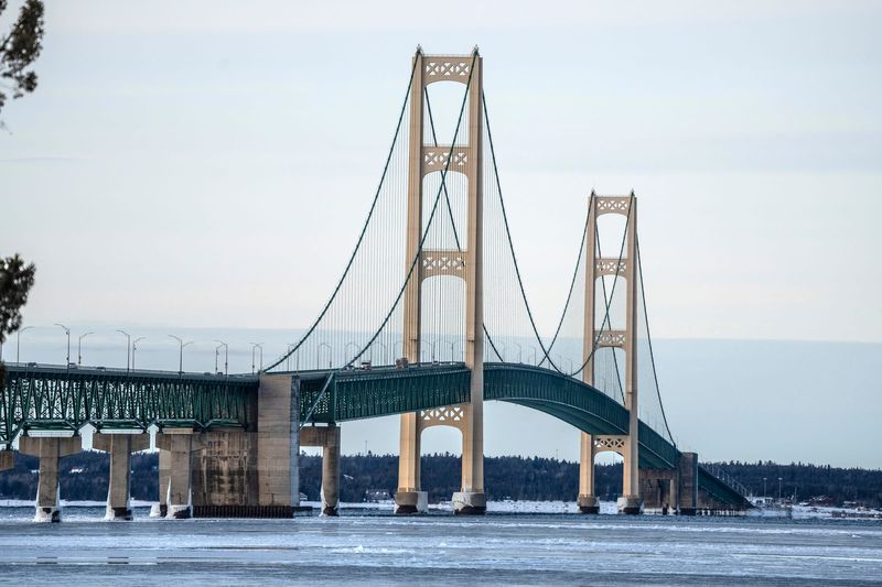
The Mackinac Bridge towers over the Straits of Mackinac, providing the only link between Michigan’s Upper Peninsula and Lower Peninsula. Depending on what city you’re driving from, the drive could take six hours or longer, so be sure to pack snacks and plan bathroom stops along the way.

With Mackinaw City anchoring the south end and St. Ignace the north, the bridge spans the meeting point between Lake Michigan and Lake Huron, two of the region’s five Great Lakes.
In May, the latest figures available, more than 374,000 vehicles crossed the bridge. More than 647,000 vehicles crossed in August 2025. Through May this year, about 1.2 million vehicles had crossed the bridge. July and August are typically the highest-traffic months for the bridge.
Need a hotel room for your end-of-summer trip? Book now
The Upper Peninsula and attractions like Tahquamenon Falls, the Soo Locks, Pictured Rocks and much more are often end-of-summer destinations for Michigan families as they prepare for the start of school later in August.
Here’s what to know about travel times to the Mackinac Bridge.
How long will it take you to get to the Mackinac Bridge?
It can be a long trip from southern Michigan to the Mackinac Bridge.
Here’s a look at the drive north to the Mackinac Bridge from southern Michigan cities, based on the fastest route option from Google:
How much is the toll to cross the Mackinac Bridge?
Drivers must pay a toll when crossing the Mackinac Bridge.
The toll rate for passenger vehicles is $4 per car or $2 per axle, the Bridge Authority’s website says. This includes passenger cars, vans, motorcycles, station wagons, SUVs, pick-up trucks and school buses.
For all other vehicle types the rate is $5 per axle. This includes tractor trailers, buses, motor homes and step or cube vans.
You can sign up for a vehicle transponder through MacPass that allows you to drive through without stopping to pay cash.
Can I watch Mackinac Bridge traffic live?
The Mackinac Bridge has five bridge cams that update every 1 minute showing conditions on the bridge, per the Mackinac Bridge Authority.
The cameras are stationed at the bridge administration building looking south, the St. Ignace dock looking south, Bridge View Park in St. Ignace looking south, Mackinaw City looking north and on U.S. 2/Interstate 75 in St. Ignace.
How long is the Mackinac Bridge?
The suspension bridge runs 5 miles long, the Mackinac Bridge Authority says.
The Mackinac Bridge is currently among the five longest suspension bridges by suspended length worldwide, the Authority said. The main span between the two towers is 3,800 feet long, making it the third-longest suspension bridge by main span length in the U.S. behind the Golden Gate and Verrazano-Narrows bridges, the ASCE said.
The 5-mile bridge (including approaches) was the world’s longest suspension bridge between cable anchorages when it opened, the ASCE notes. By stating “between anchorages,” the bridge was considered longer than the Golden Gate Bridge, even though the Golden Gate Bridge’s main span exceeds that of the Mackinac Bridge. At 8,614 feet, the Mackinac Bridge is still the longest suspension bridge between anchorages in the Western Hemisphere.
Nuts and bolts about the bridge
Contact Jenna Prestininzi: jprestininzi@freepress.com.
This article originally appeared on Detroit Free Press: Heading to U.P.? How long it will take to reach Mackinac Bridge
Reporting by Jenna Prestininzi, USA TODAY NETWORK / Detroit Free Press
USA TODAY Network via Reuters Connect
By Jenna Prestininzi, USA TODAY NETWORK | USA TODAY Network