It’s possible two tornadoes hit the Cape Coral-Fort Myers area May 17 as a band of strong thunderstorms crashed into Southwest Florida
Meteorologists with the National Weather Service said they were still reviewing photos, videos, wind readings and assessing damage to structures and trees and will likely classify the two events as either tornadoes or waterspouts.

Winds may have been as high as 80 miles per hour, which is the bottom end of a Category 1 hurricane.
“There are videos that show separate events and it looks like we have two landspout tornadoes,” said Tony Hurt, a National Weather Service Meteorologist in Ruskin, the office that covers the Cape Coral-Fort Myers area, on May 18. “We’ll know more tomorrow.”
Land tornado possibly became waterspout
Any landspout that makes contact with ground is technically a tornado, but this system was not a traditional tornado that’s easy to see play out on radar.
“It’s sometimes difficult to determine whether or not a tornado actually occurred,” Hurt said. “With the one over the Caloosahatchee River, it was probably a land tornado that moved over the river and became a waterspout.”
Hurt said he’s seen images of homes with light to moderate damage, but nothing major.
He said winds were between 65 mph and 75 mph in Cape Coral.
“Perhaps 80 (mph),” he said. “But we’ll still have to see what happened.”
The system drove south to Naples, stalled and dropped more than 3 inches of rain.
Hurt said waterspout-tornadoes are common here during the spring-to-summer transition months.
Rainfall welcome in Southwest Florida
“They are common here because we have the sea breeze boundaries interacting with other boundaries,” he said.
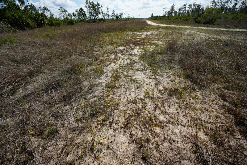
The rainfall totals are certainly welcome in a region that has been gripped by drought this calendar year.
All of Florida is in a drought, ranging from the bottom of the scale in Miami to the top of the scale in the Panhandle.
The National Oceanic and Atmospheric Administration, or NOAA, says both Lee and Collier counties are in an extreme drought.
Some meteorologist and forestry experts have said drought conditions may last here until August.
“We are transitioning to the summer pattern, and you’ll start seeing more showers and thunderstorms and every day this week there’s a chance for rain,” said NWS meteorologist Paul Close. “We can see a week of this and then it stops for two weeks, and it doesn’t set up until the second or third week or June.”
More than 3 inches of rain documented in parts of Naples on May 17
More than 3 inches of rain was documented along the eastern segment of Immokalee Road.
The Naples Airport saw 26 inches of rain, but there were much higher rainfall totals to the north.
“On the border of Collier and Lee there was 3.18 inches along Immokalee, and it was inland over the eastern area,” said Chuck Caracozza, meteorologist at the NOAA National Weather Service forecast office in Miami.
“It formed right along the sea breeze collision and then other thunderstorms and collapsed. And that stayed in place because there wasn’t much in the way of steering and the storms were slow moving as well.”
The average start of rainy season conditions here is May 15, according to historical records.
Chad Gillis is an environment reporter and can be reached by email at cgillis@news-press.com.
Please support local community journalism and stay informed about Southwest Florida news by subscribing to The News-Press and Naples Daily News; download the free News-Press or Naples Daily News app, and sign up for daily briefing email newsletter, food & dining and growth & development newsletters here and here.
This article originally appeared on Fort Myers News-Press: It’s possible 2 tornados hit Cape Coral-Fort Myers area May 17
Reporting by Chad Gillis, Fort Myers News-Press & Naples Daily News / Fort Myers News-Press
USA TODAY Network via Reuters Connect