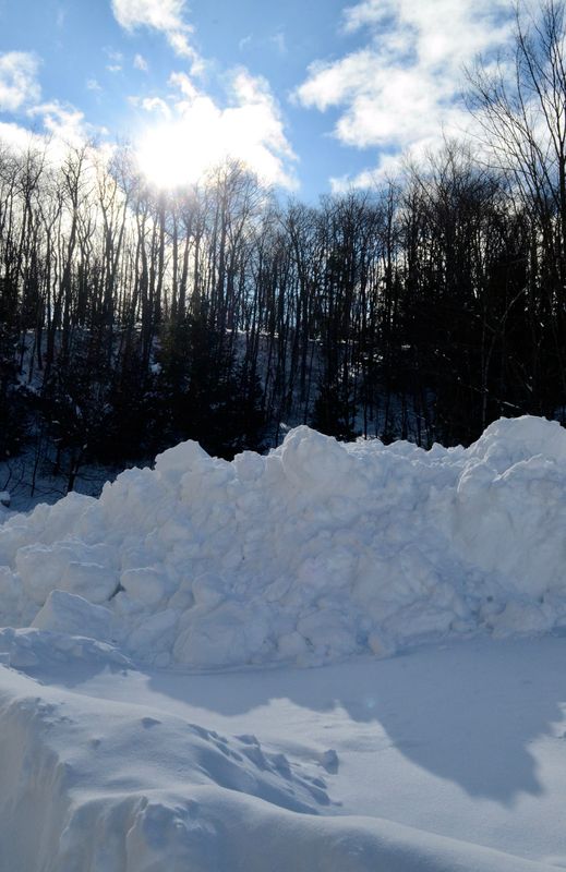
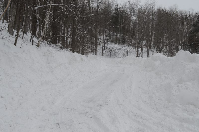
The snow has finally tapered off after two full days of stormy weather swept across Northern Michigan.
Since the blizzard began on Sunday, March 15, around two feet of snow dropped in a widespread part of the region.

“Everything north of M-32 got it the worst,” said Michael Boguth, a meteorologist with the National Weather Service (NWS) office in Gaylord. “All that area saw between 18-24 inches widespread across the Tip of the Mitt … You’re looking at a solid two feet, maybe a little bit more, in those Emmet, Cheboygan and probably even parts of Presque Isle County.”
NWS observers reported 24 inches of snow in Cheboygan, 26 inches in Petoskey and 28 inches in Wolverine.
“The amounts dropped off south of there,” Boguth said. “We had a lot of sleet and snow mix, so anywhere from 12-18 inches in those counties to the south. Further south we had the big ice storm.”
The eastern Upper Peninsula also saw significant snowfall.
“We had several reports of up to two feet across Mackinac County,” Boguth said. “Trout Lake in Chippewa County had I believe 30 and then amounts tapered off pretty quickly when you went farther northeast toward Sault Ste. Marie. I think they only had like 10.”
Wind speeds also played a big part in the storm system. There were reports of a 54 mph gust in Grand Traverse County, 52 mph in Northport and 45 mph in Charlevoix.
“So anywhere from 45-50 mph when it was at its peak, and that was really (Monday) evening when it hit its peak and we got those more widespread winds of over 40,” Boguth said.
While no official records have been confirmed, Boguth said the storm was “pretty remarkable for most,” as residents offered comparisons to the 1978 blizzard or posted photos of snow drifts up to their roofs.
“It kind of fell short of that. The 1978 storm is kind of in a league of its own,” Boguth said. “I think people were pretty well prepared. I think our forecast was really nice for them, it helped them out tremendously to get a heads-up. But we’re still pretty astonished with the amount of snow they saw and the gusting winds.”
Power and safety
Along with travel disruptions, thousands of people lost power in the southern and eastern parts of the region.
As of 9:30 a.m. on Tuesday, March 17, Great Lakes Energy was reporting 164 active outages affecting 5,953 customers. Presque Isle Gas & Electric had 63 active outages affecting 1,179 residents. Consumers Energy had 965 outages affecting 85,093 customers.
With temperatures in the low teens, with feel-like temperatures in the negative digits, many warming shelters have opened across the region. For example, Alcona Health Center has posted some options in Alpena, Alcona, Charlevoix and Cheboygan counties.
In a Tuesday, March 17 update, Great Lakes Energy officials said Osceola and Lake counties have the highest number of outages.
Consumers Energy said they have over 700 crews working 16-hour shifts to restore power.
“Our crews worked tirelessly during challenging weather conditions to restore service as quickly and as safely as possible,” said Norman Kapala, vice president of Grid Operations, in a statement. “While we have more work ahead of us, we appreciate the patience of our customers as we work to bring power back to homes and businesses across Michigan.”
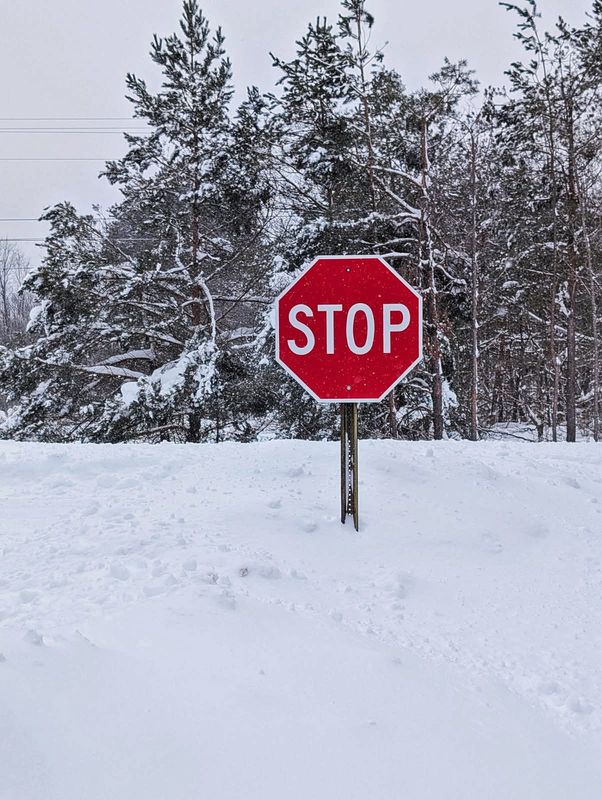
Law enforcement officials continue to urge residents to take precautions and stay at home if possible until roads are cleared.
Emmet County Sheriff Matt Leirstein also noted they have received several carbon monoxide (CO) alarm activations, many caused by snow blocking dryer vents and other exhaust outlets. He reminded residents to keep vents clear of snow and debris, ensure CO detectors are working properly and call 911 from outside the building if the detector alarm sounds.
Looking ahead
Although some light lake effect snow and a weak system will move through the area Tuesday into Wednesday, Boguth said the region is heading towards more typical seasonal weather.
“The good news is we’re going to finally start warming up to more normal levels near 40 by Thursday and Friday,” he said.
— Contact Jillian Fellows at jfellows@petoskeynews.com.
This article originally appeared on The Petoskey News-Review: Northern Michigan digs out after blizzard drops 2 feet of snow
Reporting by Jillian Fellows, The Petoskey News-Review / The Petoskey News-Review
USA TODAY Network via Reuters Connect