Residents in southwest Michigan endured strong storms and flooding Tuesday night into Wednesday morning due to a weather system that brought tornadoes to other parts of the Midwest.
The National Weather Service had received reports of at least five tornadoes across east-central Illinois and west-central Indiana.

In Michigan, Berrien, Branch, Cass and St. Joseph counties were under a tornado watch through 2 a.m. Wednesday. The rest of the southwestern part of the state was under a severe thunderstorm watch until 1 a.m., while flash floods were reported in the Grand Rapids area.
The NWS issued a flash flood warning Tuesday night for parts of Kent and Ottawa County, where some low-lying areas were already underwater and several more hours of heavy rain were expected.
Further north, hail ranging in diameter from a quarter inch to an inch had been reported from Holland to Grand Rapids, NWS reported.
Earlier in the evening, a tornado watch had been issued for Berrien, Branch, Cass and St. Joseph counties, an area still reeling from a series of tornadoes that killed four Michiganians and injured a dozen others.
Indiana tornado kills two people
At least two people died after a line of severe thunderstorms swept across the country, unleashing devastating tornadoes in neighboring states.
A large tornado, rain and hail hit the small community of Lake Village in northwest Indiana, leaving two people dead, officials announced early Wednesday. Firefighters worked until 4 a.m. local time searching the damaged areas and located several “very injured people” and two dead, according to Lori Postma, a spokesperson for the Lake Village Volunteer Fire Department.
As of Wednesday morning, a tornado watch was in effect for portions of Indiana, Ohio and Kentucky, meaning weather conditions are ripe for tornadoes to form, the Storm Prediction Center said.
Major metro areas that could experience severe weather include Houston, San Antonio, Nashville, Pittsburgh, New Orleans, Atlanta and Columbus, Ohio.
Thunderstorms may also produce heavy to excessive rain that could pose a flooding threat today from east Texas into New York, the weather service said.
More harsh weather expected in Michigan
The NWS Storm Prediction Center in Norman, Okla., said earlier on Tuesday that strong to severe thunderstorms were possible from the southern Plains and into the southern Great Lakes. NWS said all severe hazards are possible, including large to very large hail and strong tornadoes, especially across parts of Missouri and Illinois.
Center officials said the risk for storms was enhanced for Michigan’s southwestern tip, slight for the area of the state stretching from Benton Harbor, Holland, and Grand Rapids to Metro Detroit, and marginal for the area north of that.
Meteorologists with the weather service’s Grand Rapids office said several rounds of strong to severe storms were possible into early Wednesday. “The area of most concern is along and south of the Interstate 96 corridor,” they said in a statement. “Primary threat is damaging winds and large hail. Tornadoes are possible. Heavy rainfall could cause minor flooding, especially into Wednesday morning.”
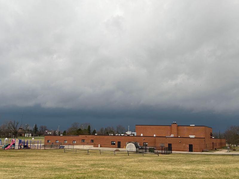
Included in that area is Union City, where a tornado on Friday devastated the community and surroundings. Eight tornadoes were reported in southwest Michigan on Friday. At least four people were killed, and 12 were injured.
Consumers Energy said its crews were preparing to respond to potential tornadoes in parts of southern Michigan Tuesday night into Wednesday morning. The utility provider said the adverse weather could result in power outages, downed wires, and other safety hazards.
“Forecasts call for strong winds across the Lower Peninsula with the chance of freezing rain and ice north of U.S. 10 and strong thunderstorms with the potential for 60 mph wind gusts, hail and an isolated tornado south of I-96,” the utility wrote in an email advisory to its electric customers. “Consumers Energy is also tracking the potential for statewide strong winds Friday.”
The weather service’s forecast calls for freezing rain Wednesday that will move over the central lower part of the state.
NWS also predicts accumulating snow on Thursday night and Friday over the same area of Michigan.
cramirez@detroitnews.com
@CharlesERamirez
USA Today contributed.
This article originally appeared on The Detroit News: Tornadoes reported in Illinois, Indiana; flooding and hail in SW Michigan
Reporting by Charles E. Ramirez and Max Reinhart, The Detroit News / The Detroit News
USA TODAY Network via Reuters Connect