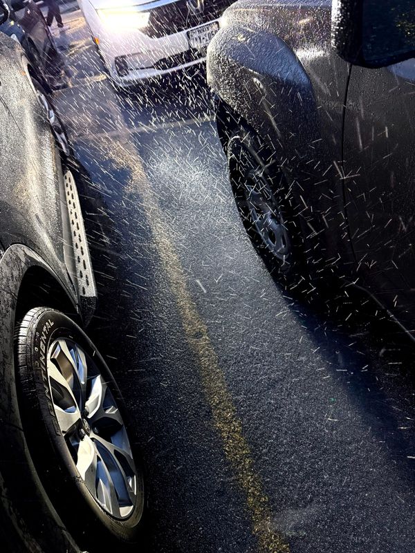
Abilenians woke to temperature in the teens and a little over an inch of snow and ice on streets Saturday morning.
Heavy sleet moved into the city around 6 p.m. Friday to continue off and on through the night into the next day, mixing with snow. A winter storm warning continues into Monday for the Big Country from the National Weather Service Office in San Angelo.

Saturday’s high was forecast to be 15 degrees with a low of 8. Chances for a wintry mix of snow, sleet and freezing rain increased from 40-90% in the afternoon as the day progressed, turning 100% by nightfall.
Wind chill values for Saturday were between minus 4 and minus 1, thanks to a 15 mph north wind. Those winds continue into the night with wind chill values at minus 2 to minus 7 degrees.
Daytime ice accumulation on Saturday is predicted to be a tenth of an inch with less than an inch of snow. Those same measured amounts were forecast to be the same Saturday night.
Sunday will see a 40 percent chance of snow before 9 a.m. The high will be 20 degrees with a 10 mph north-northwest wind, gusting to 20 mph and creating wind chill between minus 6 to 4 degrees. Less than half an inch of snow is expected.
Sunday night will see partly cloudy conditions with a low of about 4 degrees. A north-northeast 5-10 mph wind will bring a wind chill of minus 5 to zero degrees.
Monday will be sunny and cold. The high will reach near 27 degrees, and a 5 mph north-northeast wind will turn southwest in the afternoon. A clear sky Monday night with radiational cooling will bring temperatures down to around 11 degrees with the wind still 5 mph out of the southwest.
Tuesday will be the first day since Friday to rise above freezing with the high 43 degrees and sunny. Nightfall will drop temperatures to 17 degrees.
Wednesday will top out at about 41 with the low that night at 21. Mostly sunny skies and light winds will prevail.
Thursday remains partly sunny, the high near 45 and the evening’s low around 26.
Friday sees the arrival of another front. At this time a 30 percent chance of snow showers are predicted with a high around 37. As this forecast is seven days out, conditions are likely to change.
This article originally appeared on Abilene Reporter-News: Snow to fall through weekend in Abilene as winter storm continues
Reporting by Ronald W. Erdrich, Abilene Reporter-News / Abilene Reporter-News
USA TODAY Network via Reuters Connect