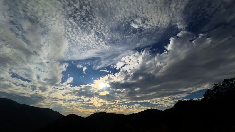
A storm expected to soak Ventura County may stick around for days, prompting officials to urge residents to stay alert and prepare for the possibility of heavy downpours.
But just how much rain will fall and what areas face the biggest threat remained unclear early Nov. 13.

The forecast called for a long duration event, one that could include two peaks. During the first, local areas likely would see the bulk of the rainfall Thursday night into early Friday, said Ryan Kittell, a meteorologist with the National Weather Service in Oxnard.
Most spots could expect around an inch of rainfall, but the foothills and mountains above Ojai may record 2 to 3 inches, Kittell said.
Forecasters called late Friday night and Saturday – when the second peak was expected to hit – the period of most concern and the most uncertainty.
Areas throughout the region likely would get rain, but some could see far more intense downpours, Kittell said.
Wherever that band sets up, it would up the ante of potential flooding, he said. Those spots could see an additional 2 to 4 inches of rainfall.
Are there evacuation warnings in Ventura County?
During the first part of the storm, the National Weather Service described rainfall rates of a quarter-inch per hour for most local areas. Some locations around Ojai and around the Highway 33 corridor could see a half-inch or higher of rain per hour.
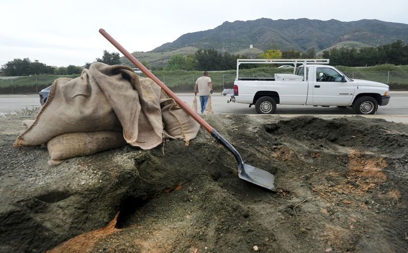
As of Thursday morning, the Ventura County Sheriff’s Office of Emergency Services had not issued evacuation warnings for local areas.
But OES officials said a storm advisory was in effect for the Mountain Fire burn area and that they would continue to monitor the forecast and conditions.
Updates were expected to be posted at vcemergency.com.
The Mountain Fire that started near Somis on Nov. 6, 2024, burned around 31 square miles and destroyed some 243 structures, many in the hillsides above Camarillo.
During intense rainfall, burned slopes can become vulnerable to flash floods and post-fire debris flows. Authorities have set a debris flow threshold just under an inch of rain per hour in the local burn area. If rainfall reaches that threshold, it does not mean debris flows will happen, but areas could become more susceptible, officials said.
Rainfall rates during at least the first part of the storm were not expected to reach debris flow thresholds for the Mountain Fire area.
Heavier downpours, however, could lead to flooding. Local authorities urged residents to stay alert, prepare their property for potential flooding and be prepared to leave if conditions become unsafe.
When will the rain stop?
By Saturday night, the storm was expected to wind down, though some rain could linger into Sunday morning, according to the weather service.
After a break, the forecast showed more rain possible on Monday or Tuesday, though the storm looked far less intense, officials said.
The county recorded below normal rainfall last year. Local cities received around 5 to 9 inches of rainfall in the 2024-25 water year, which ended in September.
That is less than half of normal rainfall totals, according to preliminary figures from the Ventura County Watershed Protection District.
This October, however, a storm boosted totals above normal for the month. Most areas recorded around an inch to 2 inches of rainfall.
Rainfall amounts in the forecast for this week’s storm could do the same for November.
To sign up for emergency alerts in Ventura County, go to readyventuracounty.org/vc-alert. For more information about emergencies or disaster preparedness, go to vcemergency.com.
This story may be updated.
Cheri Carlson covers the environment and county government for the Ventura County Star. Reach her at cheri.carlson@vcstar.com or 805-437-0260.
This article originally appeared on Ventura County Star: Storm expected to douse Ventura County; could bring intense downpours Saturday
Reporting by Cheri Carlson, Ventura County Star / Ventura County Star
USA TODAY Network via Reuters Connect