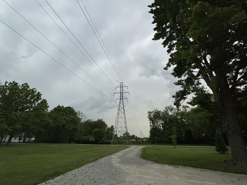
Pack an umbrella, Greater Cincinnatians. The month of July is forecast to start with a few rounds of showers and thunderstorms.
According to the National Weather Service in Wilmington, strong to severe isolated thunderstorms will be possible on Tuesday, July 1. Damaging winds will be the primary threat. However, pockets of heavier rainfall may lead to some localized flooding issues.

A cold front will move through the area late in the day, bringing cooler temperatures with highs in the low to mid-80s. Precipitation is expected to come to an end in the evening.
Although drier air will start to work its way into the region, lingering moisture will produce some patchy, dense fog overnight into the morning of Wednesday, July 2. Fog will primarily occur near and southeast of I-71 and in river valley areas. Visibility of a quarter of a mile or less may be possible.
Temperatures on Wednesday are expected to be in the low to mid-80s.
There will be a very low chance of showers and storms in northern Indiana and Ohio on Thursday, July 3, and Friday, July 4. Otherwise, the forecast calls for mostly dry conditions through the end of the week into the weekend.
Due to a lack of precipitation, a return to hot temperatures may be an issue as highs on Saturday, July 5, are expected to reach the lower 90s. But dewpoints may stay low enough to keep the area out of heat advisory criteria, the NWS added.
Thunderstorm chances will be a little higher for Sunday, July 6, and Monday, July 7, but confidence remains low. Temperatures will remain in the lower 90s on Sunday and fall slightly to the upper 80s on Monday.
Detailed 7-Day Cincinnati weather forecast
Tuesday: Showers and possibly a thunderstorm before 2 p.m., then a chance of showers and thunderstorms, mainly between 2 and 3 p.m. High near 84. Calm wind becoming northwest around 5 mph in the afternoon. The chance of precipitation is 80%. New rainfall amounts between a tenth and a quarter of an inch, except higher amounts are possible in thunderstorms.
Tuesday night: Patchy dense fog after 2 a.m. Otherwise, mostly clear, with a low of around 64. Calm wind.
Wednesday: Patchy dense fog before 8 a.m. Otherwise, sunny, with a high near 87. Light north wind.
Wednesday night: Mostly clear, with a low of around 67. Calm wind.
Thursday: Sunny, with a high near 90. Calm wind becoming northwest around 5 mph in the afternoon.
Thursday night: Mostly clear, with a low of around 68.
Friday (Fourth of July): Sunny, with a high near 92.
Friday night (Fourth of July): Mostly clear, with a low of around 70.
Saturday: Mostly sunny, with a high near 94.
Saturday night: Partly cloudy, with a low of around 73.
Sunday: A chance of showers and thunderstorms. Mostly sunny, with a high near 94. The chance of precipitation is 30%.
Sunday night: A chance of showers and thunderstorms. Partly cloudy, with a low of around 73. The chance of precipitation is 30%.
Monday: A chance of showers and thunderstorms. Mostly sunny, with a high near 93. The chance of precipitation is 50%.
Source: National Weather Service, Wilmington.
This article originally appeared on Cincinnati Enquirer: Weather: Severe thunderstorms, some flooding possible Tuesday; see July 4 forecast
Reporting by Haadiza Ogwude, Cincinnati Enquirer / Cincinnati Enquirer
USA TODAY Network via Reuters Connect