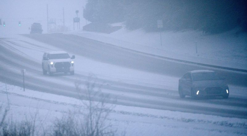
Indianapolis will head into the Thanksgiving holiday under much colder and windier conditions following a deep storm moving through the Great Lakes.
While much of the eastern U.S. started the week with milder-than-average temperatures, a trailing cold front will bring frigid polar air into central Indiana by Wednesday, Nov. 26, with highs struggling to reach the 30s and wind chills dipping into the 20s.

“A fairly intense cyclone supported by a digging upper-level trough is bringing the first significant snowfall of the season across the northern tier states culminated with blizzard conditions as cold air rushes in behind the deep storm,” the Climate Prediction Center wrote.
“This cyclone is forecast to continue its eastward track across the Great Lakes while expanding in size for the remainder of today into tonight,” the Climate Prediction Center stated. “The Snow Belt along the south shore of Lake Superior including the Arrowhead can expect to receive well over a foot of snow, along with blizzard conditions at the height of this storm during the day today.”
How long will snow last in Indiana?
Indianapolis could see two separate rounds of snow over the next week.
Thursday (Thanksgiving Day) will be cold and windy, with skies gradually clearing behind the front. Temperatures will remain below normal, but sunshine will offer some relief for holiday activities.
Snow expected to fall beginning Wednesday, Nov. 26
Wednesday, Nov. 26, will bring flurries, mainly in areas near and north of I‑74, with a few isolated snow showers possible after 1 p.m. in far‑north and northeast counties, according to the National Weather Service office in Indianapolis.
“Most of these should not be impactful, but a few isolated bursts of light snow accumulations and low visibilities will be possible this afternoon,” the weather service wrote.
Snow on Black Friday in Central Indiana
Friday through Saturday, the region may see light snow as a surface low develops over the central High Plains and moves northeast.
Snow is expected to begin Saturday morning, primarily accumulating north of I-70, before a gradual transition to rain occurs Saturday afternoon and evening. Totals will likely be 1–2 inches in northern areas, with less than an inch further south. Travel could be impacted during the morning and early afternoon, especially on untreated roads.
Early next week, additional Arctic air is expected to settle over Indianapolis, keeping highs near or below freezing and lows in the teens. This will set the stage for more opportunities for snow or a wintry mix, with multiple systems possible as the first half of December begins.
Stay informed. Get weather alerts via text
This article originally appeared on Indianapolis Star: Back-to-back winter weather systems headed for Indiana. When will snow end?
Reporting by Brandi D. Addison, USA TODAY NETWORK / Indianapolis Star
USA TODAY Network via Reuters Connect