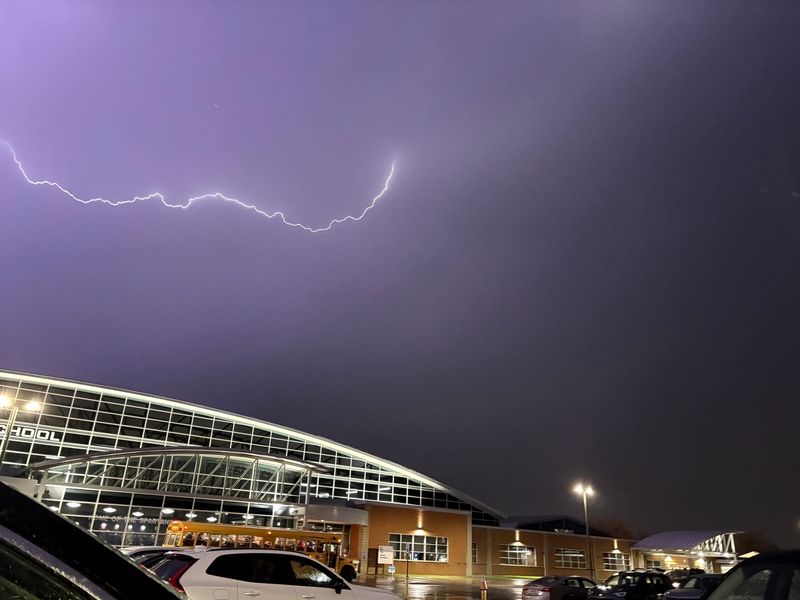
Thunderstorms are expected to develop tonight and continue through Tuesday night, bringing the potential for severe weather and heavy rainfall across the region.
Greatest risk Tuesday afternoon and evening

According to the National Weather Service Buffalo, the highest risk for severe thunderstorms will occur late Tuesday afternoon through Tuesday evening.
Damaging wind is the primary concern, though an isolated tornado cannot be ruled out.
Heavy rain may lead to flooding
Periods of heavy rain are also expected Tuesday into Tuesday night. Forecasters warn that rainfall could lead to flooding in low-lying and poor drainage areas.
Excessive runoff may cause rising water levels in creeks and rivers, with a low chance of minor flooding in areas that receive higher rainfall totals.
What to watch for
Residents should monitor forecasts and be prepared for rapidly changing conditions, especially during the Tuesday evening commute when storms are expected to be most intense.
What is a tornado watch?
A tornado watch is an alert issued by the National Weather Service. It means that tornadoes are possible in and near the “watch” area.
A tornado watch is issued by the Storm Prediction Center for counties where tornadoes may occur, and the watch area is typically large, covering numerous counties or states.
If a tornado watch is issued in your area, the NWS says to be prepared and be ready to act quickly if the next level, a warning, is issued or if you suspect a tornado is approaching.
What is a tornado warning?
A tornado warning is a more serious alert, indicating that a tornado is either happening or is about to happen, and you should take shelter immediately.
This article originally appeared on Rochester Democrat and Chronicle: Severe storms could hit NY Tuesday. Damaging winds, isolated tornado possible
Reporting by New York Connect Team, USA Today Network / Rochester Democrat and Chronicle
USA TODAY Network via Reuters Connect