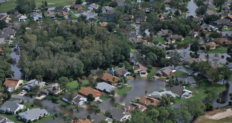
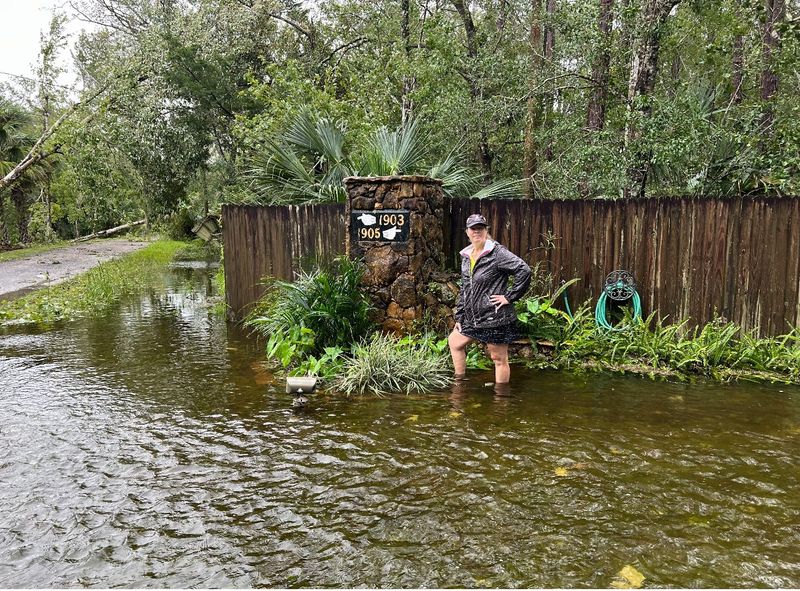
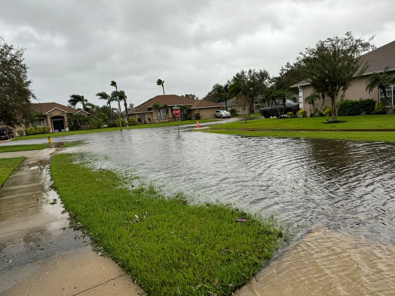
PORT ORANGE — The widespread flooding experienced across Volusia County over the past few years have shown the need for better stormwater infrastructure — and Port Orange’s ongoing vulnerability assessment is meant to help in the effort.
The City Council Tuesday night, Aug. 19, heard an update on the status of the assessment from Daytona Beach-based engineering consulting firm Kimley-Horn.

Started in 2024, the process is now moving into the “adaptation plan” phase, in which the firm’s engineers and city staff will work together to identify the best strategies to improve the city’s stormwater system, which is part of the assessment’s purpose.
Port Orange’s vulnerability assessment also aims to “identify risks associated with flooding and sea-level rise; identify vulnerable property or infrastructure; prioritize high-risk areas; and devise resilience-based strategies to target risks,” according to Kimley-Horn engineer Chris Niforatos.
The city hired Kimley-Horn last year to conduct the study after the City Council in August 2024 approved a $164,650 grant from the Florida Department of Environmental Protection (or DEP) for funding.
The grant is part of the Resilient Florida Program, enacted into law by Gov. Ron DeSantis in May 2021. The program provides grants to Florida cities to conduct such assessments, which are supposed to look at the potential impact of sea-level rise and flooding in these communities, while also identifying projects and ideas for what their local governments can do to mitigate the climate effects.
What does Port Orange’s vulnerability assessment involve?
The state program can also provide Florida cities with funding toward flooding mitigation projects, but vulnerability assessments are requirement.
“Doing this vulnerability assessment sets you up to be able to go after future funding for implementations projects,” Niforatos said.
The past few months have been dedicated to the study’s data collection phase, in which Niforatos and his team looked at the city’s topographic and flood scenario data, analyzing impacts from rainfall, sea-level rise and storm surge.
They also conducted two public outreach meetings, where residents shared their own neighborhood’s flooding struggles, pointing to potentially problematic pond or pipe systems that might need improvement.
Another part of this phase was performing an inventory of city-owned assets, including critical infrastructure, such as treatment plants and lift stations, as well as community and emergency facilities; natural, cultural and historical resources, such as city parks; and transportation assets and evacuation routes.
The study’s exposure analysis applied this data to 100- and even 500-year storm scenarios, the results of which could be seen in over 130 city maps. These took into account rainfall, sea-level rise, high tides, and storm surge, both separately and combined.
With the knowledge of what flood water depths would be in the different scenarios, engineers conducted a sensitivity analysis, showing the level of high, medium and low vulnerability for several parts of Port Orange.
According to Niforatos’ presentation, neighborhood areas and facilities surrounding the Dunlawton Avenue and Spruce Creek Road area presented high “criticality,” as well areas near City Hall, Nova Road, Madeline Avenue and others.
The analysis also identified six “focus areas” within the city that “can benefit from future adaptation strategies,” Niforatos said. Those include the Dunlawton Bridge area, as well as parts of the city’s south and west regions.
Does the study account for unprecedented amounts of rainfall?
Port Orange Mayor Scott Stiltner thanked those involved in the work, saying “We know we need to have this element in our toolbox to be able to utilize the work toward resiliency, funding.”
The mayor then asked Niforatos about how the metrics used for the assessment’s analysis take into account the varying intensity of storm events, given that Hurricanes Ian and Milton in the last three years “have brought volumes of rainfall in short periods of time that nobody living in Port Orange has ever seen.”
“As we look at things like this – these metrics that you are using or we are using – a lot of times they don’t align with storms that will produce 20 inches of rainfall,” Stiltner said.
Niforatos said part of vulnerability assessments “is planning for an uncertain future.”
“So we are able to look at some of these (pre-determined storm scenarios), but then we are also able to cast that net further,” Niforatos said. “We are looking at that 100-year rainfall, but we are also looking at the impacts of storm intensification. Is the 100-year rainfall really a 100-year rainfall anymore?”
Factors like sea-level rise also contribute to the effects of storm surge and tide behavior, he added.
What is next for Port Orange’s vulnerability assessment?
After months of data collection and analysis, Kimley-Horn engineers and city staff will now move onto the project’s adaptation plan to come up with project ideas to increase flooding resiliency.
“Typically, we look at those types of (strategies) in three (categories),” Niforatos said. “’Gray’ infrastructure is your raising of infrastructure, upsizing pipes; ‘green’ infrastructure, which looks at nature-based solutions; and ‘blue’ infrastructure that looks at stormwater facilities and passive parks. And a lot of times, it’s a combination of these three things.”
According to the project’s schedule, the adaptation plan is expected to be finished by October 2025.
This article originally appeared on The Daytona Beach News-Journal: Port Orange vulnerability assessment points to high flood risk areas as next phase begins
Reporting by Brenno Carillo, Daytona Beach News-Journal / The Daytona Beach News-Journal
USA TODAY Network via Reuters Connect