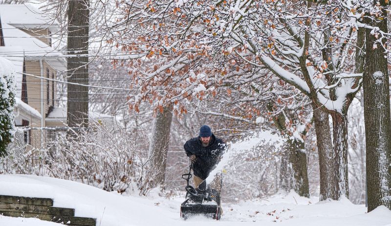
The Lansing area could see rounds of rain and snow over the next few days, the National Weather Service says in a hazardous weather advisory.
A Canadian clipper system moving in from Wisconsin Monday night, Dec. 8, will drop heavy lake-effect snow across parts of the Upper Peninsula and northwest Lower Peninsula as it moves across the state.

Gale warnings and small craft advisories are in place on the Great Lakes, and winter weather advisories and winter storm warnings have been issued for parts of northern Michigan and the UP.
In mid-Michigan, a hazardous weather outlook includes Ionia, Clinton, Eaton, Ingham, Shiawassee and Jackson counties.
“Light snow is expected to develop across most of the area tonight,” the outlook says. “There is a chance of some freezing drizzle developing late tonight that could produce a light glaze on roads and make them slick.”
Temperatures overnight Monday will fall to about 10 degrees in the Lansing area with winds reaching 21 mph. Tuesday, the high could reach 32 degrees, but winds will increase up to 28 mph.
Starting Tuesday, Dec. 9, roads are “likely to be slick” for most of the area because of fresh snow and potential freezing drizzle. The weather service said little to no ice accumulation is expected, but up to 1 inch of snow could fall.
Snow is expected to change to rain Tuesday as temperatures stay above freezing, and then back to snow Wednesday afternoon.
“Snow will spread in over the area Tuesday evening, and cause roads to become or continue to be slick across the area,” the weather service warned. “The snow will continue across Central Lower with a few inches of accumulations likely.
“Areas along and south of Interstate 96 are likely see precipitation change to rain Tuesday night into Wednesday morning, before changing back to snow Wednesday afternoon,” the outlook said. “Any roads that are wet Wednesday will freeze up again late Wednesday as temperatures fall.”
Only about 1-2 inches of accumulation is expected by Thursday when snow could fall again, according to the NWS. The Detroit NWS office said areas north of M-46 may see all snow, totaling 3 inches in mid-Michigan.
Most snowfall in the Lower Peninsula from the system will be on the west side of the state toward Traverse City. Some areas from Manistee to Interlochen could get as much as 10 inches.
This article originally appeared on Lansing State Journal: Lansing area could see snow, rain. When to expect bad roads
Reporting by Dan Basso, Lansing State Journal / Lansing State Journal
USA TODAY Network via Reuters Connect